£22.50
£45.00
£22.50
£45.00 £80.95
£135.00
£80.95
£135.00 £47.95
£80.00
£47.95
£80.00 £377.00
£580.00
£377.00
£580.00 价格
£4.80
£12.00
价格
£4.80
£12.00 £59.95
£110.00
£59.95
£110.00


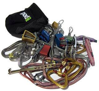
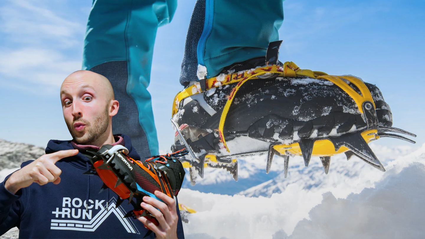
Blessed with Snow and Ice but lacking in traction? Look no further than the Rock+Run Crampon Buyers Guide!
In this video we'll give you an overview of our crampon range from C1 all the way up to C3 letting you know what each rating means and what they would be suitable for. Onwards!

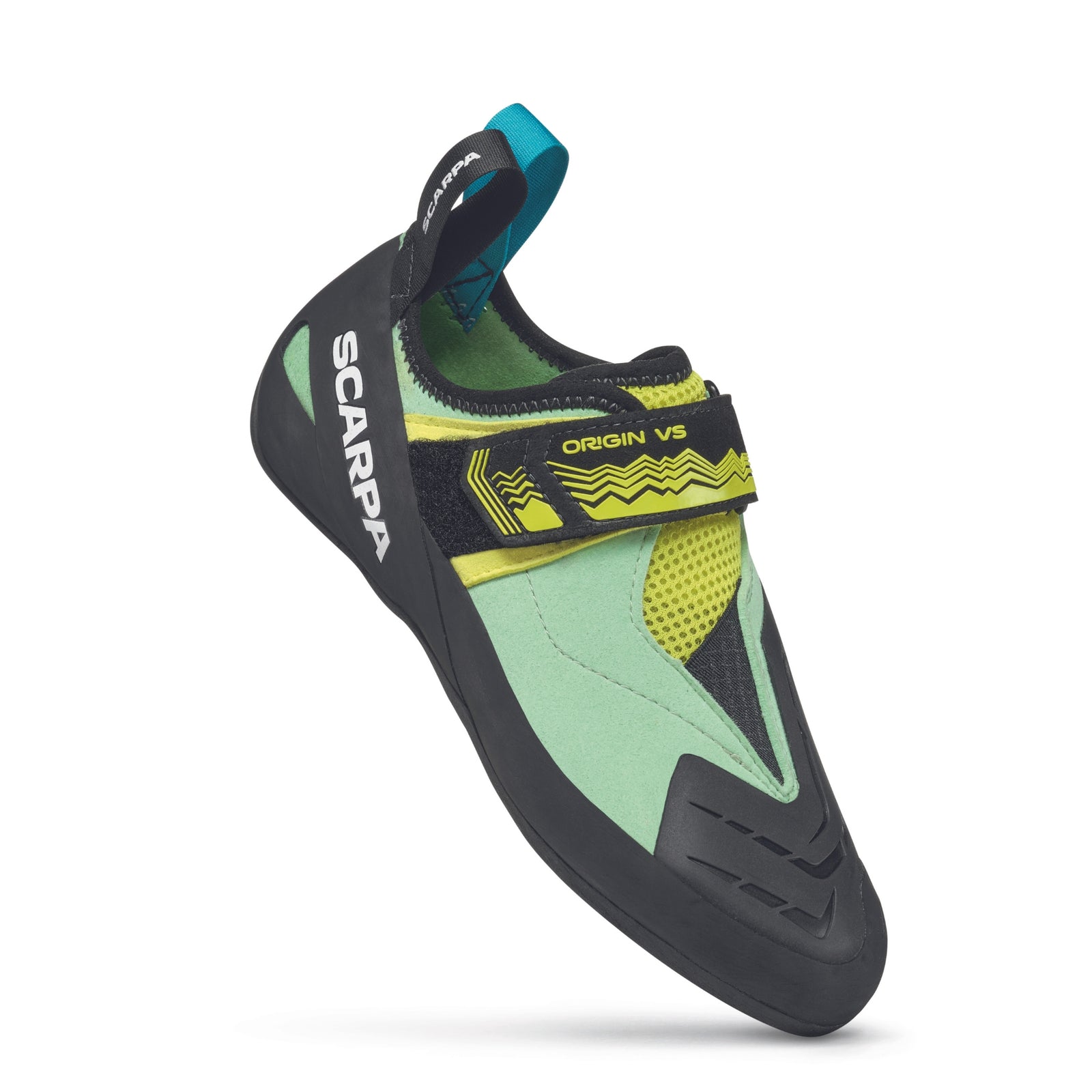
Children's climbing shoes can be notoriously difficult to fit. Join us as we explore the topic and try to give you some top tips to consider when fitting kids climbing shoes. Hop in!

Looking to set out on the hills? Are the mountains calling? Well we'll make sure you've got a good idea of what you're going to need underfoot to get to those summits! In this video we'll give you an overview of our boot range from B0 all the way up to B3 letting you know what each rating means and what they would be suitable for. Let's get into it!

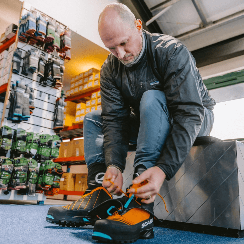
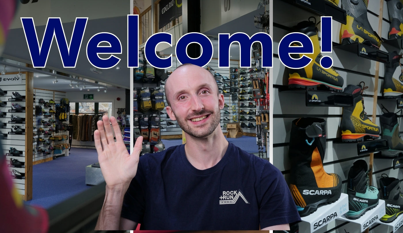
Take a tour of the Rock+Run showroom, see what’s in stock, and discover what makes us one of the UK’s most trusted names in climbing and outdoor equipment.