By Andy Hyslop
Cerro Tronador is an extinct volcano and the highest peak of the Nahuel Huapi National Park in northern Patagonia. The main (international) peak is on the border between Argentina and Chile (3478M). Most people climb the neighbouring Argentine peak (3280M) because it is easier to access from the nearby town of Bariloche and is more suitable for ski ascents.

Approaching Tronador at the start of day 2
Bariloche is the largest town in Patagonia and a good base for mountain ascents in the area. The whole trip involves a two and half hour drive from Bariloche to Pampa Linda including 50km of dirt road. A thousand meter ascent from Pampa Linda to Refugio Otto Meiling. Another twelve hundred meters from the refugio to Pico Argentino. You can make the trip in summer but the terrain is more appealing for ski ascent in the spring. Most people make the ascent in two days but it is very possible in one long day given the right snow conditions.

Looking north from the summit of Pico Argentino
Day 1
Either park at Pampa Landa or if you are with a local guide he may be able to gain access to the last 3km of rough track leading to the final parking area. A long ascent through the beautiful Coihues forest leads to the top of the tree line on a broad ridge at approximately 1700M. The ridge leads directly to the refugio. In stable snow conditions you can skirt a steepening by making a leftward traverse but there is a large cliff below so this may not be suitable in unstable or icy snow conditions. Otherwise take the steepening direct and keep to the ridge crest.

The Otto Meiling Refugio
The refugio is usually open from October onwards depending on conditions and offers a full meal service. Blankets and sleeping bags are available so you have the option to just bring a sleeping bag liner.
Day 2
A gentle gradient leads up the broad glacier and eventually onto a ridge that connects with a second glacier to the west via a short steep traverse on its left side.

The ridge dividing two glaciers on the ascent of Tronador
Trend up and around to the right, then back left below a serac wall. There are some big crevasses in this area. Gain the col between the international peak on the left and Pico Argentino on the right. Leave skis at the col and climb a steep crest and slope on the right to the foot of rock band. At this point you can either descend slightly and traverse below a rock barrier before climbing onto the ridge or, scramble up a short corner at the right end of the rock band.

Steep snow above the col on the way up Pico Argentino
Gear
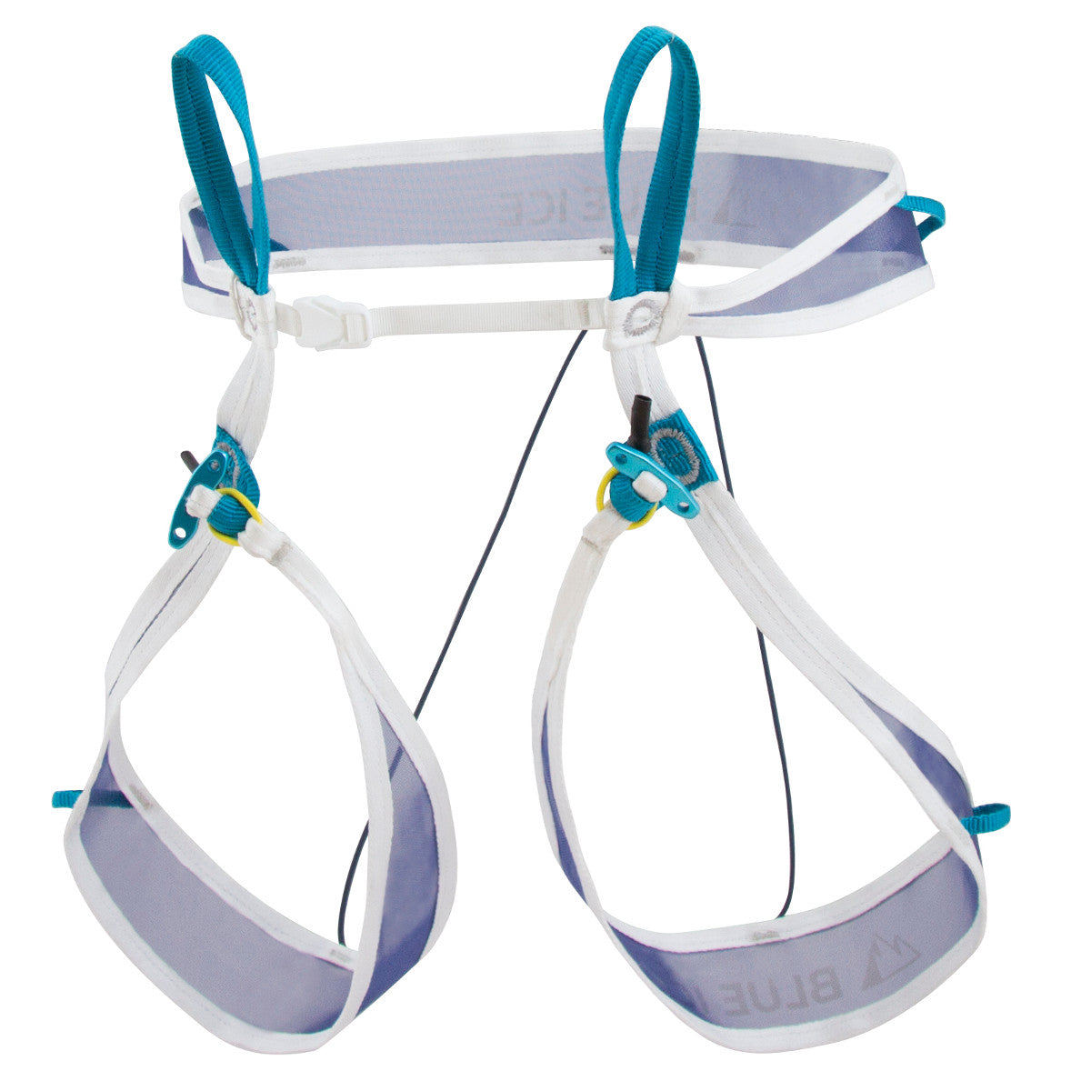
Touring skis and boots, skins, ski crampons, harness and prusiks suitable for glacier travel, a short rope, 2 carabiners, snow stake of deadman, ice axe, crampons.

Below the rock band near the summit of Pico Argentino
Links


