£26.95
£45.00
£26.95
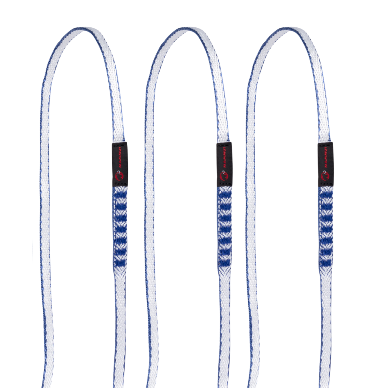
£45.00 £112.00
£160.00
£112.00
£160.00 £44.95
£75.00
£44.95
£75.00 from
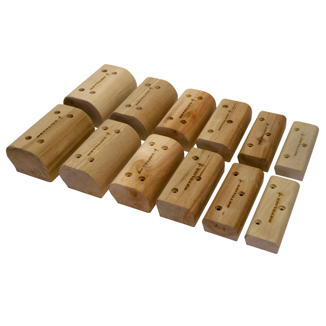
£4.80
£12.00
from
£4.80
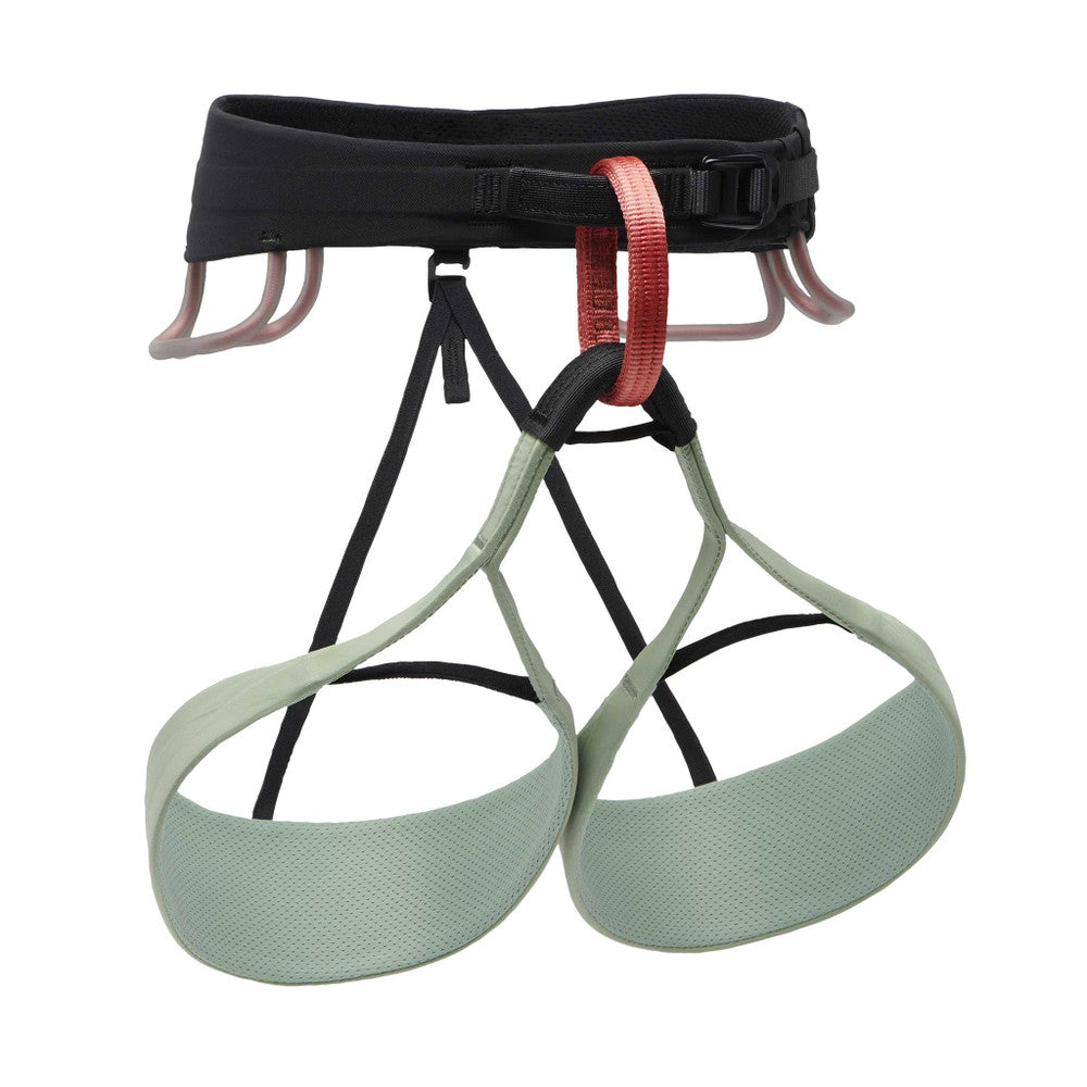
£12.00 £49.95
£100.00
£49.95
£100.00


Detailed 1:25,000 scale walking maps of the UK and Ireland. Exceptionally clear and easy to read.
Fort William through Glen Nevis to Loch Treig. From the Grey Corries south to Kinlochleven. Ben Nevis, the Aonachs and the Mamores are among the 20 'Munros' and 4 'Corbetts'. Enlargement of Ben Nevis summit. As used by the Lochaber Mountain Rescue Team.
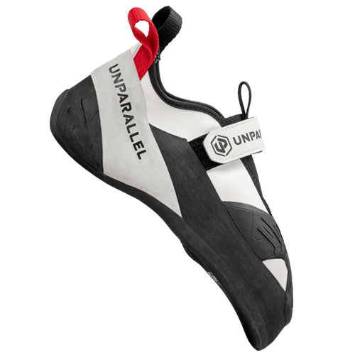
Would you like to try on some climbing shoes, running shoes or mountain boots for size before you make your purchase? If so, then why not visit our showroom or book a one-on-one appointment with one of our experienced staff members.
Would you like to try on some climbing shoes, running shoes or mountain boots for size before you make your purchase? If so, then why not visit our showroom or book a one-on-one appointment with one of our experienced staff members.

Be the first to hear about new gear, limited releases, and member-only offers.