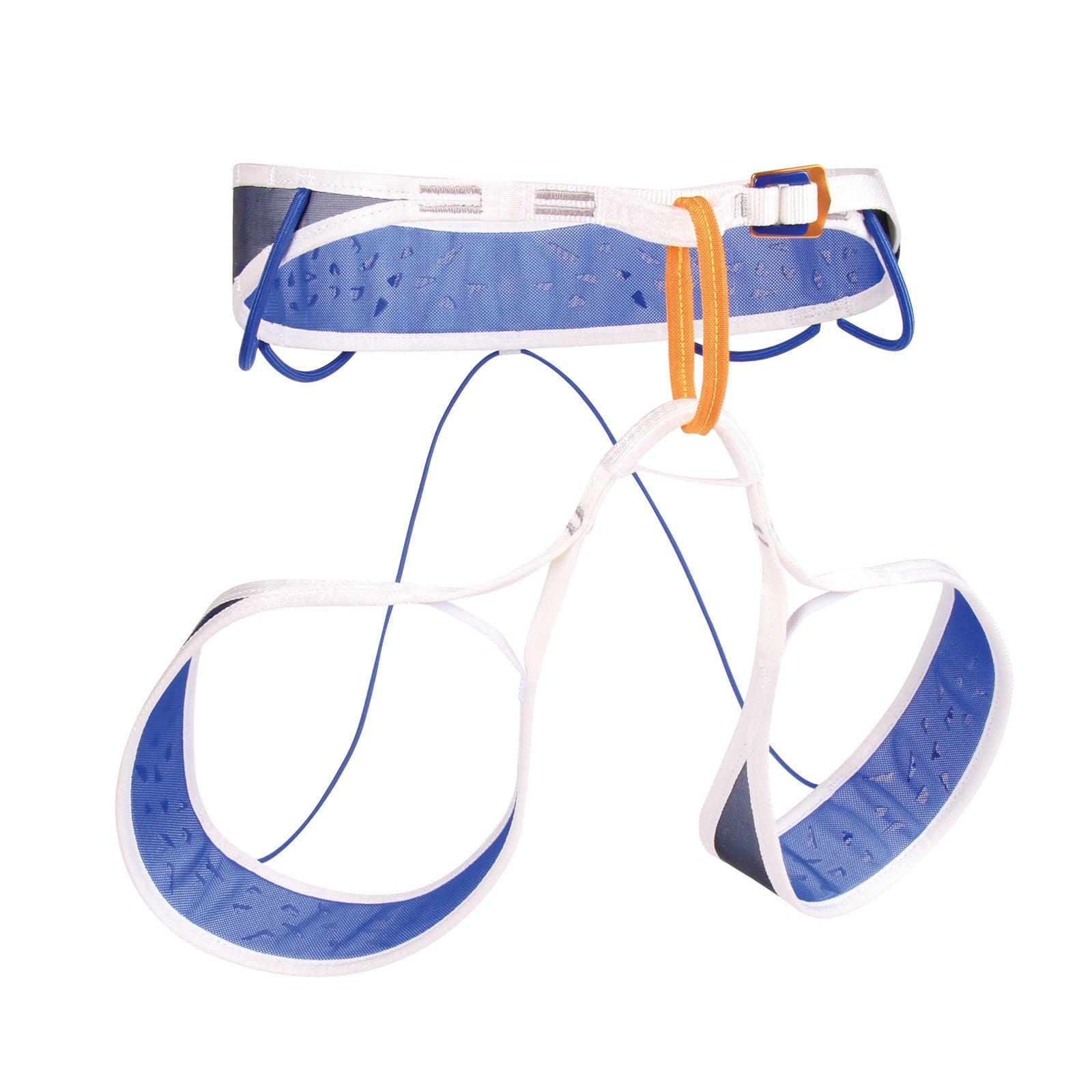
£26.95
£45.00
£26.95
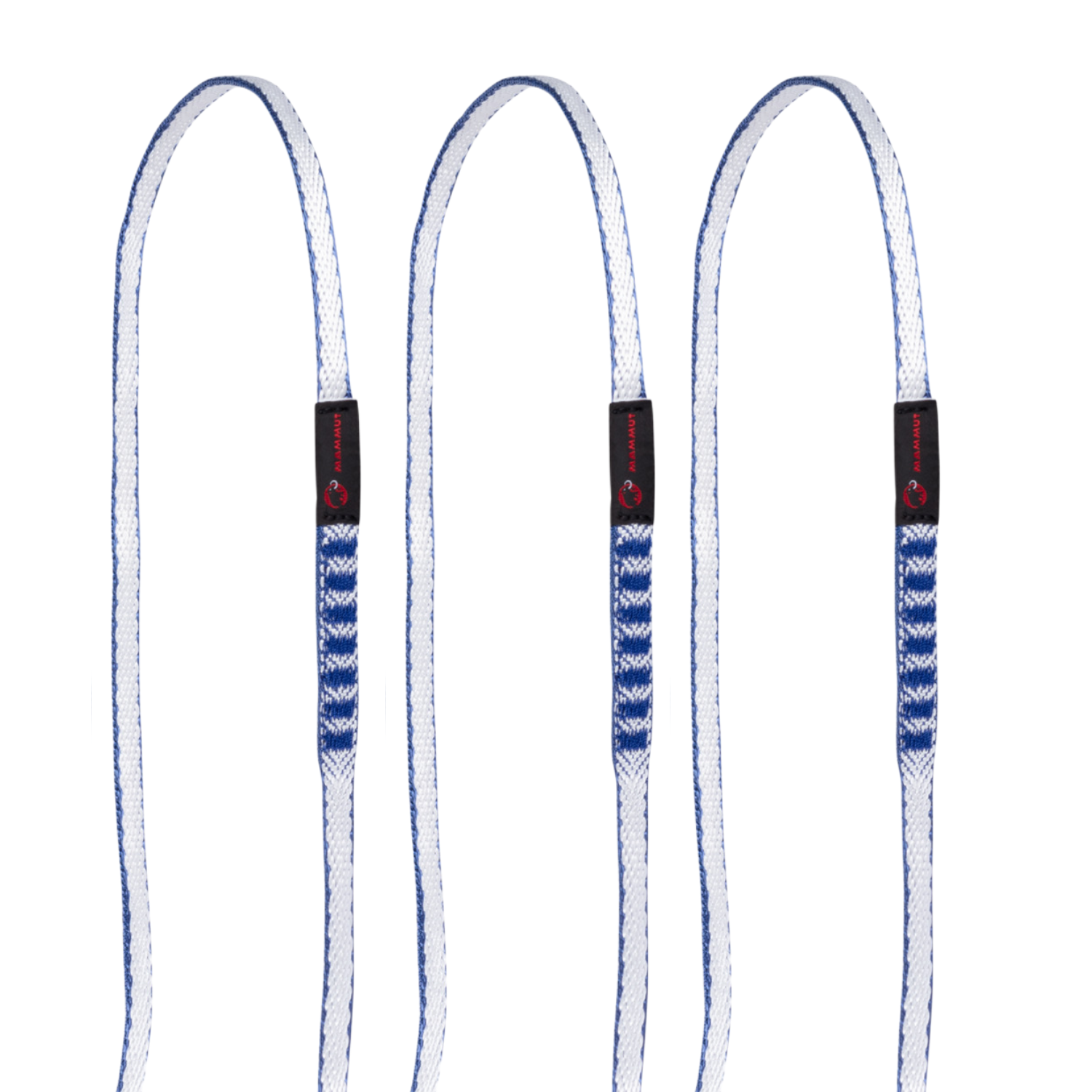
£45.00 £112.00
£160.00
£112.00
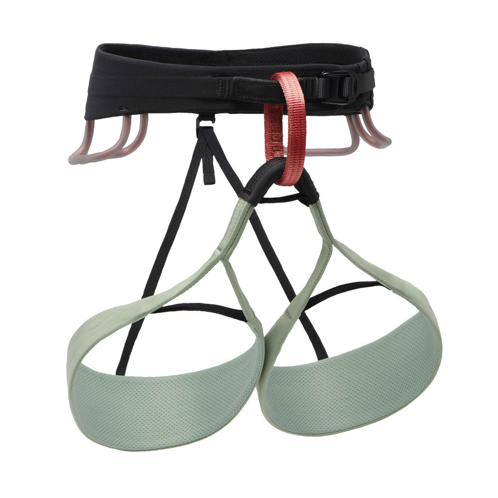
£160.00 £44.95
£75.00
£44.95
£75.00 from
£4.80
£12.00
from
£4.80
£12.00 £49.95
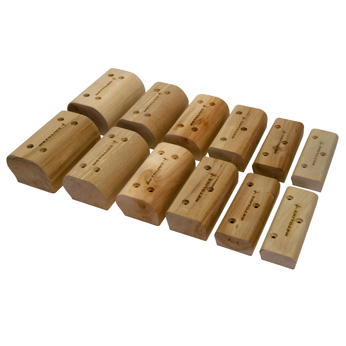
£100.00
£49.95
£100.00
Detailed 1:25,000 scale walking maps of the UK and Ireland. Exceptionally clear and easy to read.
Improved and extended coverage as far as the A6 and to Kentmere & Troutbeck in the west. Shap summit, High Street, Ullswater, Pooley Bridge and Haweswater Reservoir are all featured. Includes 82 Wainwrights.
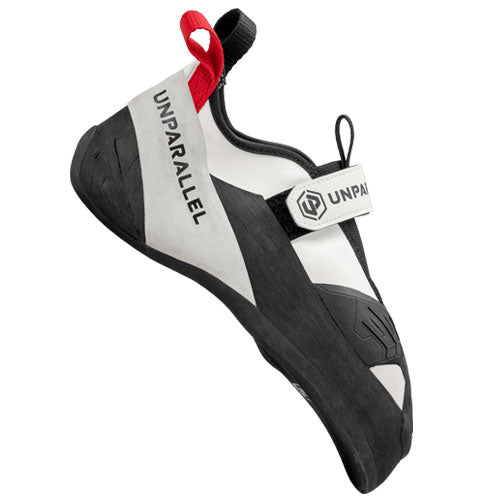
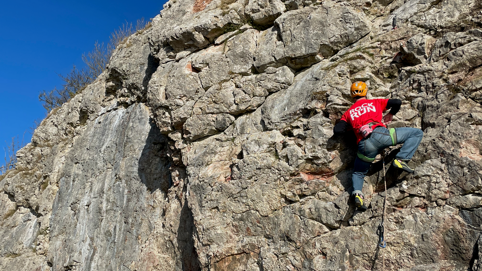
Would you like to try on some climbing shoes, running shoes or mountain boots for size before you make your purchase? If so, then why not visit our showroom or book a one-on-one appointment with one of our experienced staff members.
Would you like to try on some climbing shoes, running shoes or mountain boots for size before you make your purchase? If so, then why not visit our showroom or book a one-on-one appointment with one of our experienced staff members.

Be the first to hear about new gear, limited releases, and member-only offers.