£26.95
£45.00
£26.95
£45.00 £112.00
£160.00
£112.00
£160.00 £44.95
£75.00
£44.95
£75.00 from
£4.80
£12.00
from
£4.80
£12.00 £49.95
£100.00
£49.95
£100.00
The map has Lake Windermere in the centre, and covers Ambleside, Kendal and Coniston. Includes the superb mountain biking area of Grizedale Forest.
Detailed walking map for hillwalkers of the south eastern area of the Lake District National Park at the popular 1:25,000 scale.
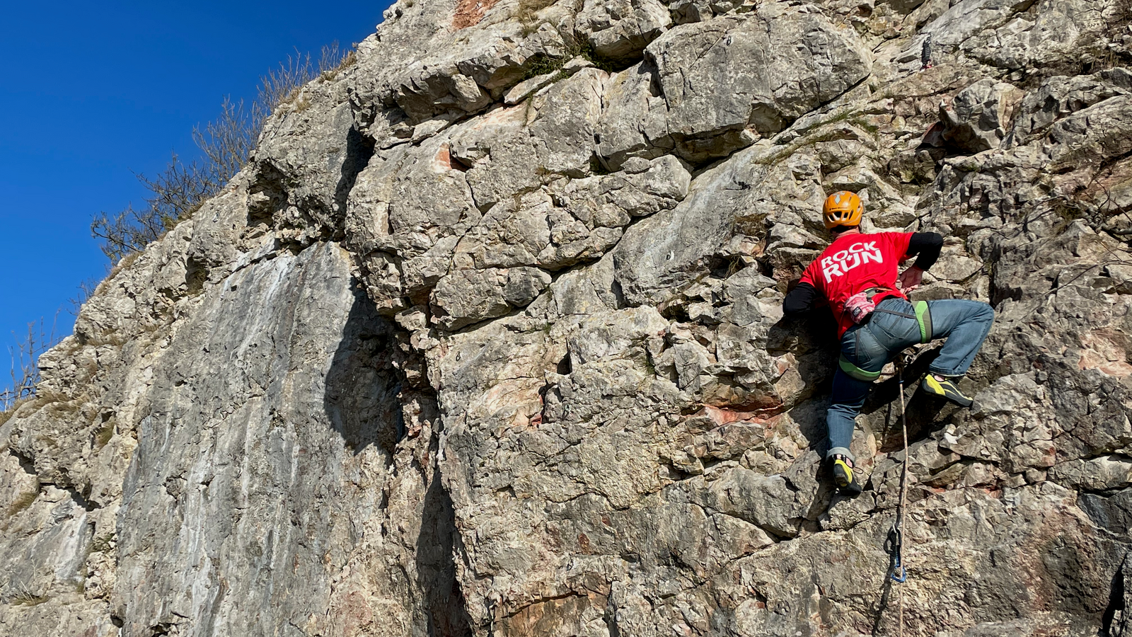
Would you like to try on some climbing shoes, running shoes or mountain boots for size before you make your purchase? If so, then why not visit our showroom or book a one-on-one appointment with one of our experienced staff members.
Would you like to try on some climbing shoes, running shoes or mountain boots for size before you make your purchase? If so, then why not visit our showroom or book a one-on-one appointment with one of our experienced staff members.

Be the first to hear about new gear, limited releases, and member-only offers.