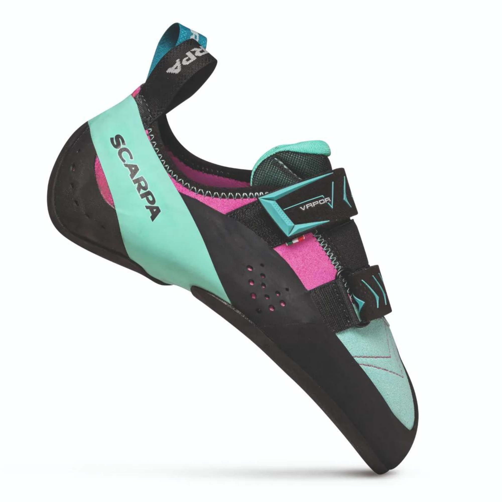
 £99.95
£155.00
£99.95
£155.00 £174.00
£290.00
£174.00
£290.00 £183.00
£305.00
£183.00
£305.00 £79.95
£160.00
£79.95
£160.00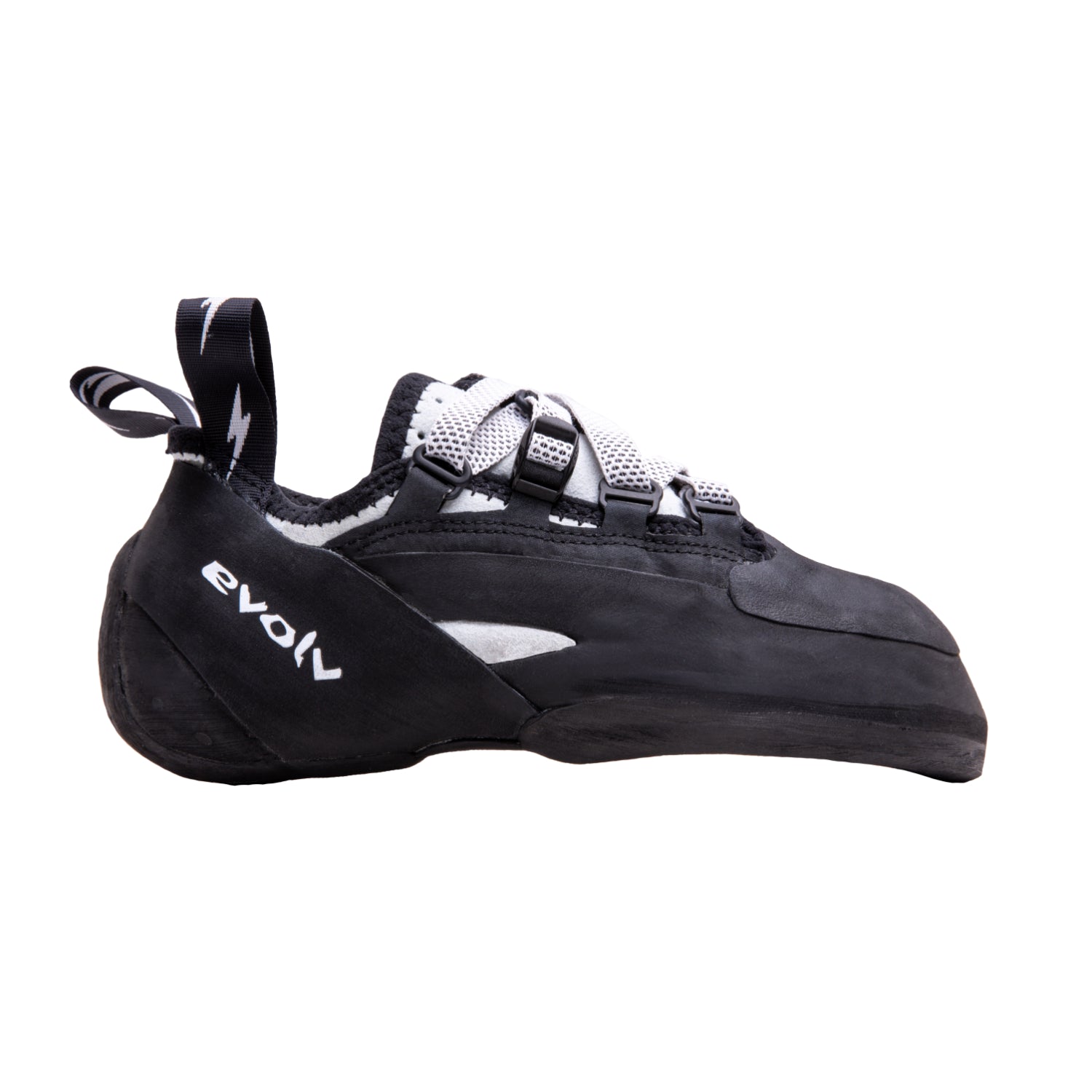 £135.00
£185.00
£135.00
£185.00 £94.95
£190.00
£94.95
£190.00
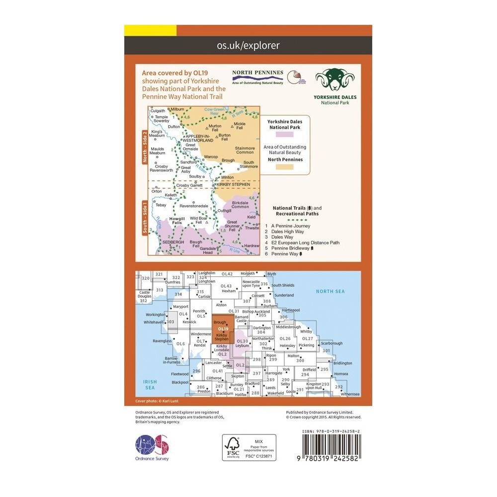
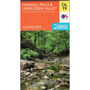

Howgill Fells and Upper Eden Valley - OS Explorer Map OL19.
Trusted walking maps for those doing day trips orlonger more challenging hikes. Whether you’re passionate about cycling, mountain biking, walking or horse riding, take the explorer map with you and get the most out of your adventures.
Showing part of Yorkshire Dales National Park and the Pennine Way.
Sheet: OL19 (1:25000)
Would you like to try on some climbing shoes, running shoes or mountain boots for size before you make your purchase? If so, then why not book an appointment with us today! We can offer you a bespoke one-on-one shopping experience with one of our experienced staff members.
Would you like to try on some climbing shoes, running shoes or mountain boots for size before you make your purchase? If so, then why not book an appointment with us today! We can offer you a bespoke one-on-one shopping experience with one of our experienced staff members.

Join our newsletter for the latest news, special offers, and insider tips—delivered right to your inbox!


